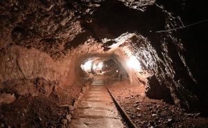
 Quincy Mine
Weight: -9
 UP Firefighters Museum
Weight: -7
 Eagle Harbor Lighthouse
Weight: -6
 Brockway Mountain
Weight: -5
 Fort Wilkins State Park
Weight: -5
 McLain State Park
Weight: -4
 Estivant Pines
Weight: -4
 Coppertown
Weight: -3
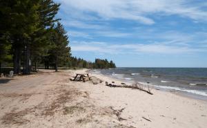
 Great Sand Bay
Weight: -2
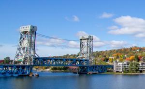 Portage Lift Bridge
Weight: -2
 Delaware Copper Mine
Weight: -2
 Keweenaw Heritage Center
Weight: -2
 Calumet Theatre
Weight: -2
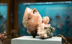 A.E. Seaman Mineral Museum
Weight: -2
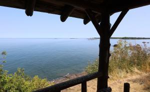 Esrey Park
Weight: -1
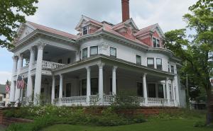 Laurium Manor Inn
Weight: -1
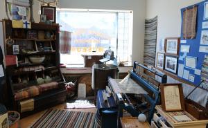 Copper Range Historical Museum
Weight: -1
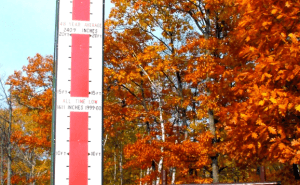 The Keweenaw Snow Thermometer
Weight: 0
 Brunette Park
Weight: 0
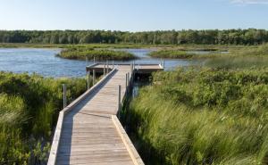 Boston Pond
Weight: 0